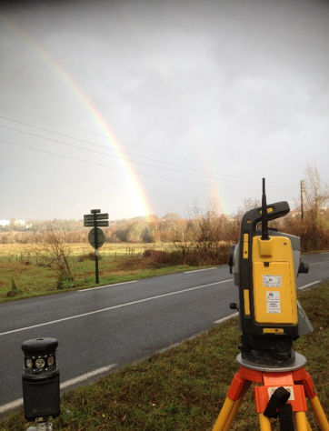
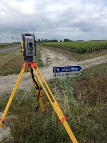
Neptune Site Services Surveying division have over 15 years' experience in both local and national projects. We have the ability to achieve millimetre accuracy as we use only the best technology and highly trained, experienced Surveyors. Topographical Surveys are real time digital maps of existing features both natural and man made. They can be used for a variety of purposes:
- Pre construction planning
- Existing infrastructure mapping
- Flood management control
- Cut to fill volumetric calculations
We capture the information using GPS, Total Station, Levelling and Aerial surveys (UAV) depending on project specifications. This information is then combined to produce the final mapping product which can be delivered to the client in both hard and soft copy as desired and in a format that suits your needs.
Accuracy and efficiency is key to our core company values and this is reflected in the product our clients receive.